"Parco Adda Nord" is located halfway between Milan and Bergamo. This park take its name from the Adda river, and lays along the course of the river that runs from Lake Garlate until Truccazzano.
I don't know how many parks in Italy can boast the concentration of historical sites, one of them recognized by UNESCO, nature, living traces of Leonardo's genius, power plant of the end of XIX century. All these spots can be reached by car or by bike or by foot, or a combination of the three. You can choose.
The routes are suitable for everyone, from athletes to the family with children. Especially in the weekend the route along the park is the place for families with little children and in many places you can stop for a pic nic or simply relax. If you don't want to bring food from home and want to find bars or restaurants, there are plenty of them along the way. On the map just look for the towns you encounter along the river. There you can find for sure some place, but there are other places also in more hidden spots.
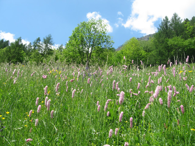
The height difference from the start, Garlate Lake, to end is virtually non-existent. From north to south the road is in very slight descent. The path that runs along the river is very wide and well maintained. In addition to different natural landscapes (woods, cultivated plains and even ponds), you will see many animals including many species of birds, frogs and colourful dragonflies.
Regarding historical sites, first of all let's talk about Leonardo. There is a website dedicate to the works the Italian genius who worked here realized. Along the river you can find the canals he invented, the "chiuse", a smart way for moving boats and the ferry boat he designed and which can be used. This ferryboat( it doesn't have any engine), connects two sides of the river, Imbersago(Lecco province) and Villa d'Adda(Bergamo province) thanks to a steel cable.

The other important historical spot is the town of Crespi D'Adda. This is part of the Unesco World Heritage as it is an example of a "company town" of the end of XIX century. It is amazing to walk on the streets of the town as all the houses, the factory, the church, the cemetery, are intact and seem have been built just few years before. This is a place to visit.
Along the river you will find other perfect examples of italian industrial glorious past in building power plants. The hydro power plant belongs to the end of XIX century and beginning of XX century. There are many examples along the course of the river. They are all amazing, since the architecture of these buildings is extremely accurate. Production of electricity seems to be not the primary purpose of these buildings. They are more similar to elegant villas for the wealthy people or the aristocracy.
I don't know how many parks in Italy can boast the concentration of historical sites, one of them recognized by UNESCO, nature, living traces of Leonardo's genius, power plant of the end of XIX century. All these spots can be reached by car or by bike or by foot, or a combination of the three. You can choose.
The routes are suitable for everyone, from athletes to the family with children. Especially in the weekend the route along the park is the place for families with little children and in many places you can stop for a pic nic or simply relax. If you don't want to bring food from home and want to find bars or restaurants, there are plenty of them along the way. On the map just look for the towns you encounter along the river. There you can find for sure some place, but there are other places also in more hidden spots.
The height difference from the start, Garlate Lake, to end is virtually non-existent. From north to south the road is in very slight descent. The path that runs along the river is very wide and well maintained. In addition to different natural landscapes (woods, cultivated plains and even ponds), you will see many animals including many species of birds, frogs and colourful dragonflies.
Regarding historical sites, first of all let's talk about Leonardo. There is a website dedicate to the works the Italian genius who worked here realized. Along the river you can find the canals he invented, the "chiuse", a smart way for moving boats and the ferry boat he designed and which can be used. This ferryboat( it doesn't have any engine), connects two sides of the river, Imbersago(Lecco province) and Villa d'Adda(Bergamo province) thanks to a steel cable.

The other important historical spot is the town of Crespi D'Adda. This is part of the Unesco World Heritage as it is an example of a "company town" of the end of XIX century. It is amazing to walk on the streets of the town as all the houses, the factory, the church, the cemetery, are intact and seem have been built just few years before. This is a place to visit.
Along the river you will find other perfect examples of italian industrial glorious past in building power plants. The hydro power plant belongs to the end of XIX century and beginning of XX century. There are many examples along the course of the river. They are all amazing, since the architecture of these buildings is extremely accurate. Production of electricity seems to be not the primary purpose of these buildings. They are more similar to elegant villas for the wealthy people or the aristocracy.


